(39.108067, -79.5694)
From Thomas, W.V., travel 6.5 miles south on US 219 to FR 18. Tucker County High School, (116 Mountain Lion Way, Hambleton, WV.) will be on your right at about 5.6 miles. At 0.9 mi past the entrance to the high school, take a left onto FR 18. At just under 0.5 mi., at the intersection of FR 18 and FR 717, continue to the left on FR 18. (FR 717 will take you to a fire tower after about 2 miles and dead ends there.
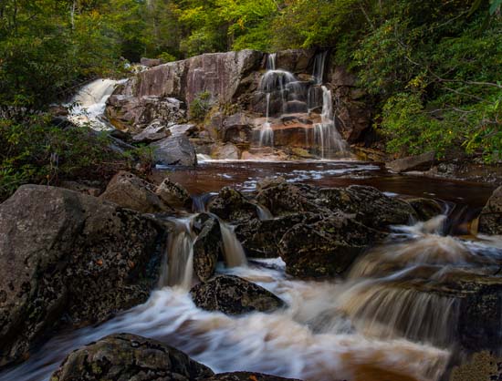
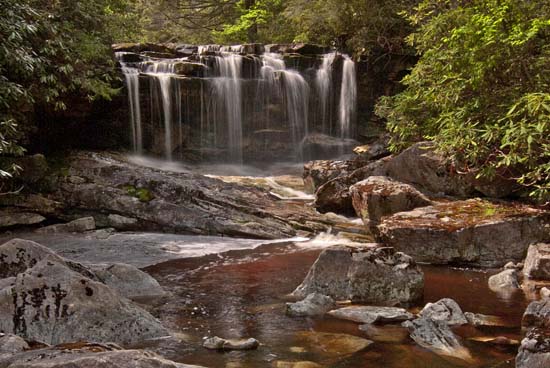
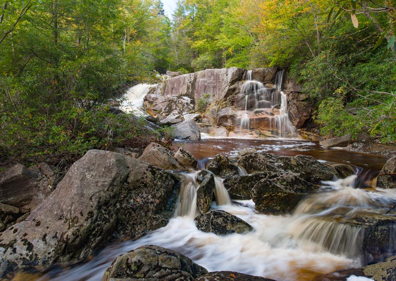
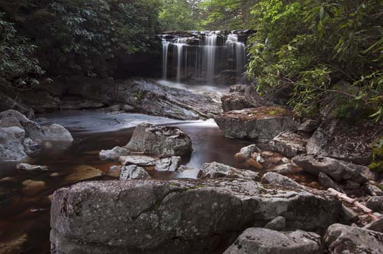
Travel 1.3 mi. to the place where the road crosses Big Run. Continue to a pull off area. There is a picnic table and camping area in a half circle pull off on your right. It's usually very muddy to drive on. Just down the road is a rock with an orange marking. You can enter the creek here which is at the top of the falls or continue down the road a bit further, where you will find another trail. I recommend you find this second trail, as it is much easier and the top trail is kind of dangerous. Also, it will bring you out at a more photo friendly spot and keep you from some rock hopping.