39.606707, -79.759075
39°36'24.2"N 79°45'32.7"W
I'd like to thank Charles Crop for escorting me into the wilderness where this waterfall resides. From the directions you might think that it's just not that hard to get to or find, but that is not the case. You cannot drive all the way down this road unless by ATV, and it's about a mile and a half walking on rough road. When you finally get to where you have to leave the road, there is no clear path, so venturing in here without some prior knowledge or a friend who knows may end in you not finding this place or you getting injured. This is not to be taken lightly.
From Exit 15 on I-68, drive Old 73 (CR 73/73) for 1 mile and turn right on Pisgah Ladley Rd. (CR 73/2). Follow for for 0.9 miles and bear onto Laurel Run Pisgah (CR 73/5). 0.2 miles further, turn right onto Beaver Hollow/Beaver Hole Rd (CR 73/4). Follow that for about 2.4 miles, or until you just can't go any further and look to the below directions from Charles Cropp.
Charles Cropp. "I drive my Ford Focus as far as I can down the road and park on the side of the road." (There is a spot where two vehicles will fit, off the side of the road, on your right going down. Below here is not for mom's car.) "I hike the rest of the way in. It’s an old Jeep road. Don’t worry about all the no trespassing signs. The Jeep road is a public road. Eventually the road crosses over into the Cheat Canyon Wildlife management area - ie. Public Land. There is a culvert in the road that has collapsed. You cannot make it across here unless you have an ATV or hike it. From where I park to where the waterfall is located is only about 1.5 mile. The path to the waterfall is in a turn. The road turns to the right. Hike a sharp left and start over the hill. There is a old path part of the way down. Go down stream a little ways and then approach the waterfall from downstream."
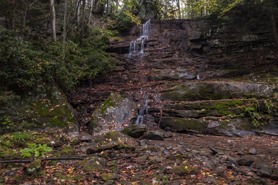
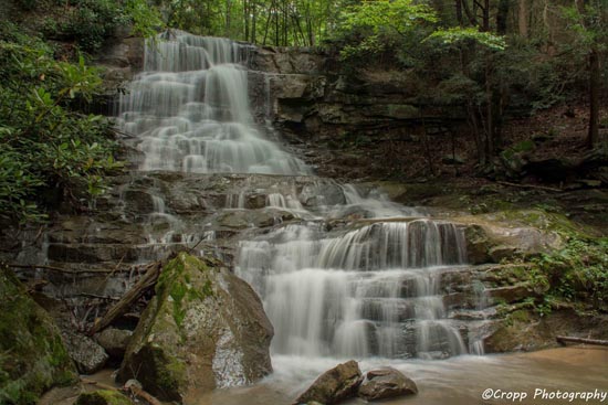
At the sharp right hand turn in the road, go left. It's a narrower trail going downhill. You will come to a switchback and continue down a short way more. It might be 100 yards from the switchback where you can leave the trail to the left and start to venture down to the creek. There are two HUGE boulders near the bottom. You can walk between them for the second shot or down farther and across the creek for the first shot.

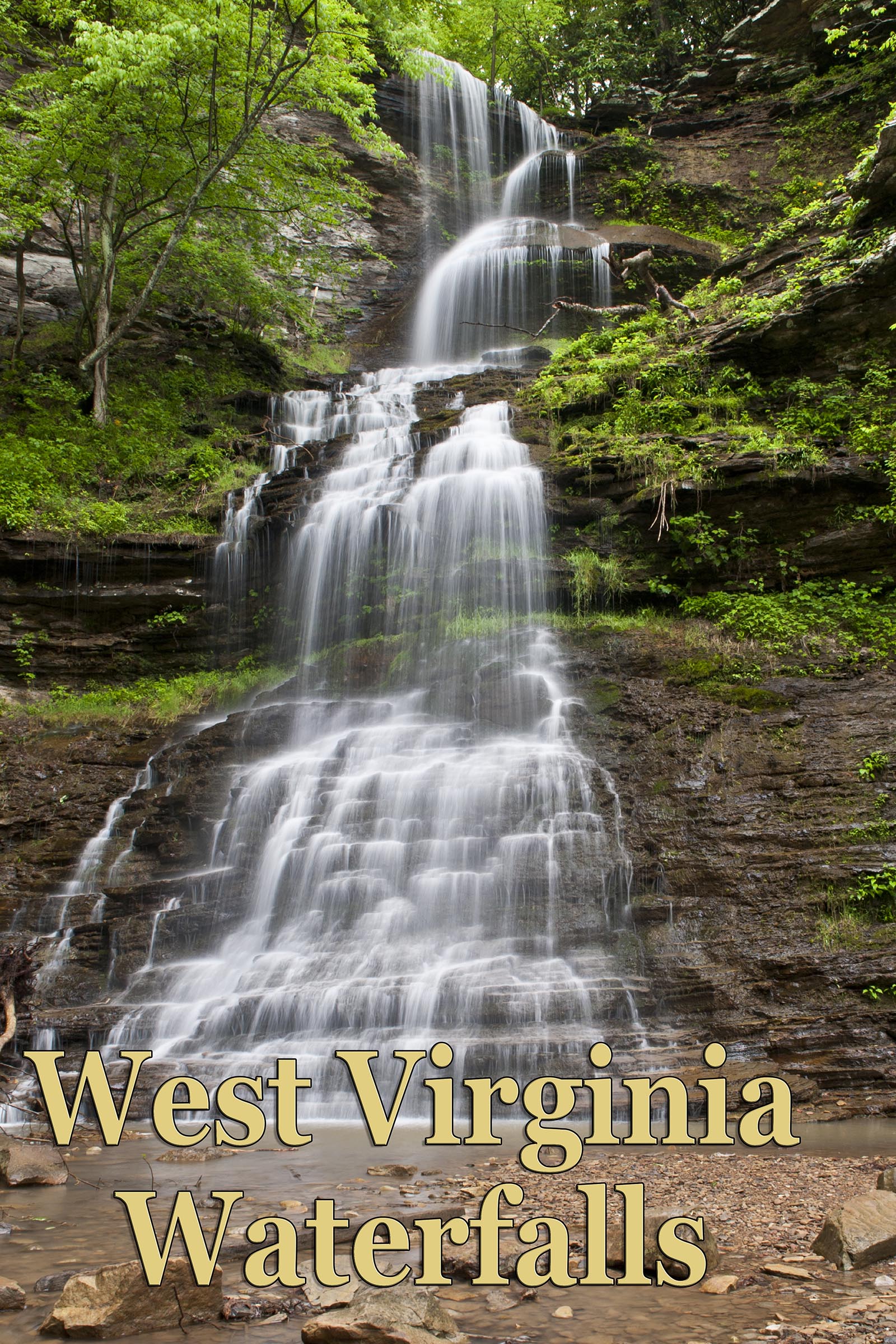
The two photos above were taken during a rather dry time for the area but it was still worth the effort to visit this special place. For some comparison, here is a Charles Cropp image with substantially more water flow.


