38°09'14.4"N 81°10'48.1"W
38.154000, -81.180028
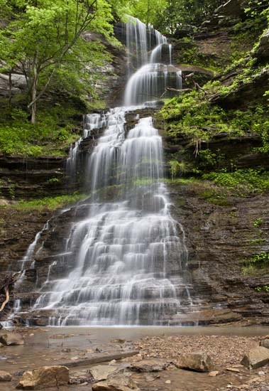
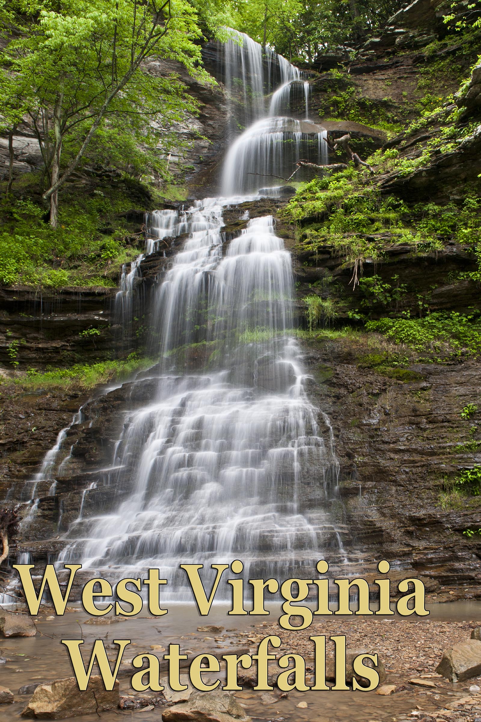
Cathedral Falls, along with Babcock Mill Falls and Blackwater Falls, is probably the most often photographed in the state. It has it's own little park, not too big, right on the side of the road, just outside (east) of Gauley Bridge. It can get kind of crowded with room for maybe six cars, but you'll find a way, because when you drive by, you just know you have to stop and get some pics. Picnic tables too. Kid friendly and roadside. Who could ask for anything more?
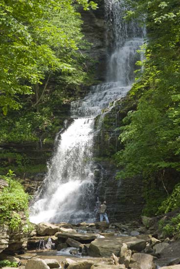
These images are posted so you can see how big and grand this waterfall is. That's my buddy Dan in this first one, trying to size it up and figure out how to shoot it.
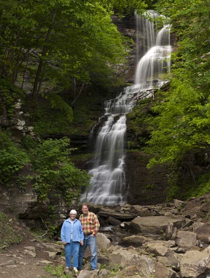
That's me and my mom in 2014.

These last two are some Army guys home on leave from Iraq that I happened to run accross in 2017. I think the last pic really gives some perspective to the size of this beautiful monster.

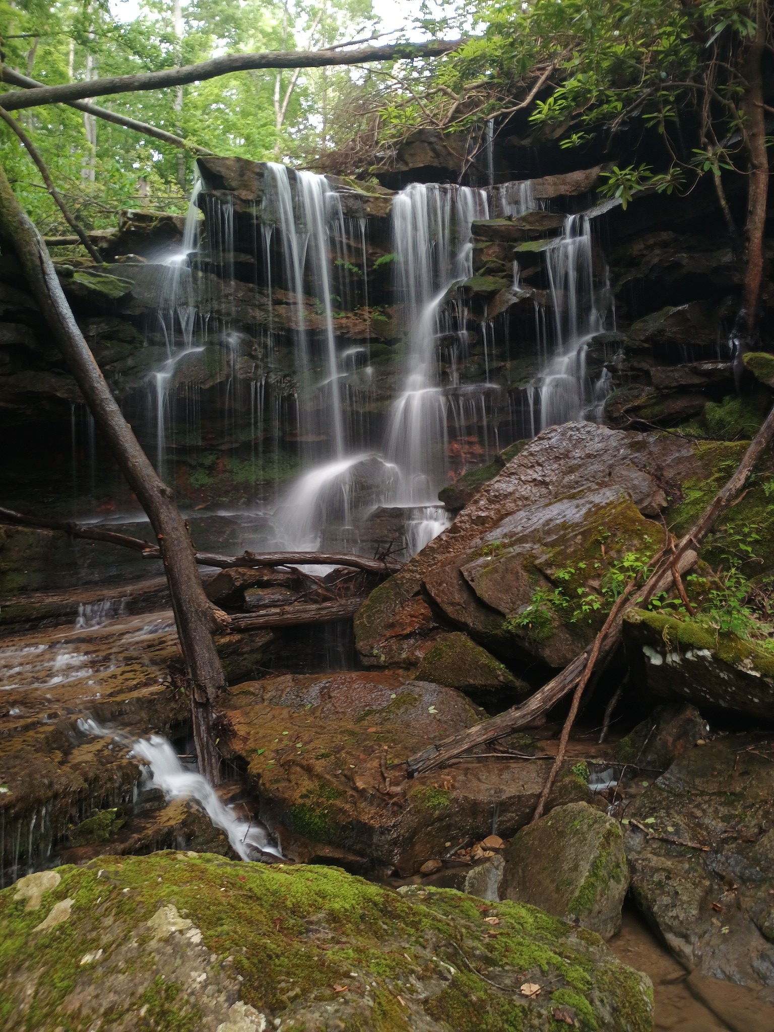
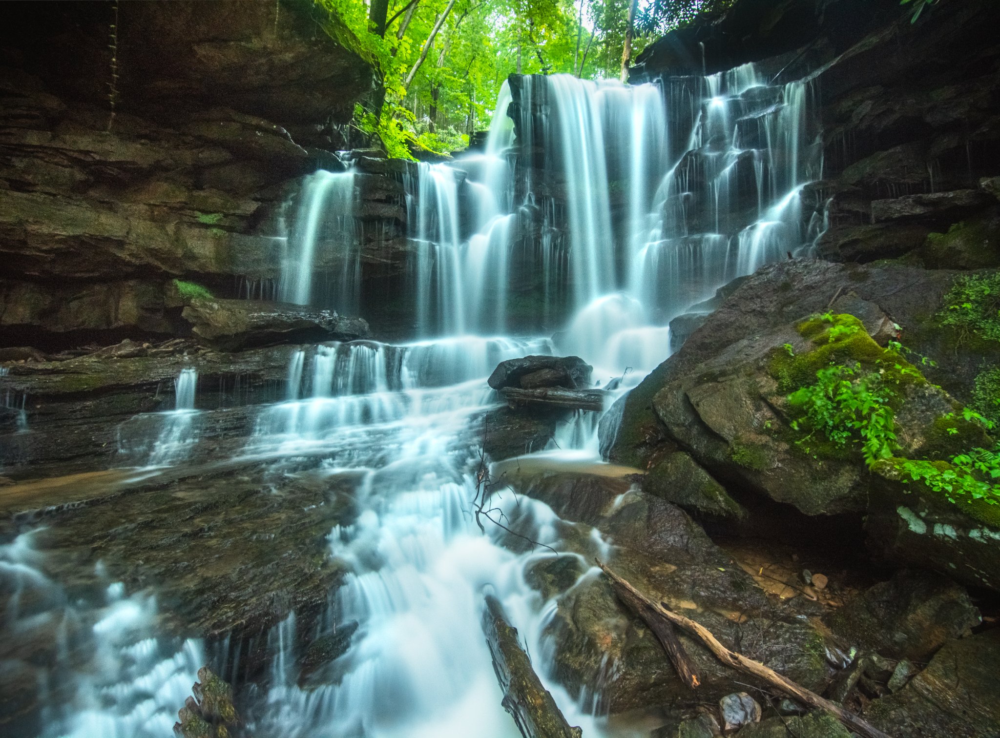
Cane Branch Falls (Upper Cathedral Falls)
I've known that there were other falls up above but have never found them. I have driven to the top by way of Cane Branch Rd, which is east of the parking lot on US 60. However when I got to the top I decided not to venture further because of private property. There are several homes and some farmland up there. The more likely approach is by way of Taylor Hill Rd. which can be accessed by bushwhacking up the hill and across the tracks and then up the hill some more. Park at the Gauley Mountain Public Fishing Access lot. (38°09'25.1"N 81°11'05.4"W/38.156972, -81.184833)
So park in the gravel lot, cross the road, then the tracks and start your bushwhack up the hill. You'll come to Taylor Hill Rd. Go east (to the right) and follow road to top of hill. I haven't done this so I am not the expert here, But I have researched it and talked to those who have been, so I'm fairly confident in posting these directions. Make sure and compare the direction on Google Earth so you can have some better frame of reference.
Taylor Hill road begins down near the confluence of Galuley and New Rivers. Not sure of the condition. I doubt you can drive a car up there, but possibly an ATV. I would ask aorund down in Gauley bridge. Try asking in Grillbillies Tavern right near the beginning of Taylor Hill Rd.
Photos are courtesy of Stephanie Leight (top) anad Mark Oleg Ozboyd (bottom)
The following are comments from Stephanie Leigh and Glen Benton as posted in West Virginia Waterfalls Group on Faccebook.
"It's up above it but you gotta bushwhack up a hill by the tracks and carefully follow an old logging road there where you end up at the top of Cathedral and you'll be right below the upper falls. It's very sketchy!" - Leigh
"Standing at the top of Cathedral was definitely a pucker factor, I hate to admit, but it was all worth seeing the beauty of the upper![]() it is worth it, if you can make it!" - Benton
it is worth it, if you can make it!" - Benton