37.847226, -80.949144
37°50'50.0"N 80°56'56.9"W
This is a hard hike and creek access is iffy everywhere. There is no trail. It's like a forest floor that's never been walked on. Lots of loose rocks, holes, soft ground cover and steep grades everywhere.
After crossing the bridge at Prince, drive 5.9 mile to a right on Backus Mountain Rd./Backus Red Spring Rd. Follow this road for 1.8 miles and go left in front of the Oak Grove Church. From there it's 1.5 miles to Camp Branch Rd. Turn onto Camp Branch Rd. and park.
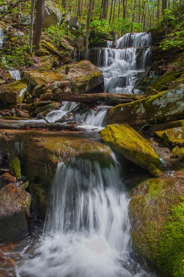
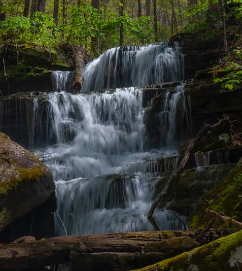
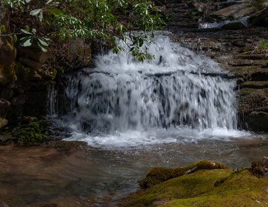
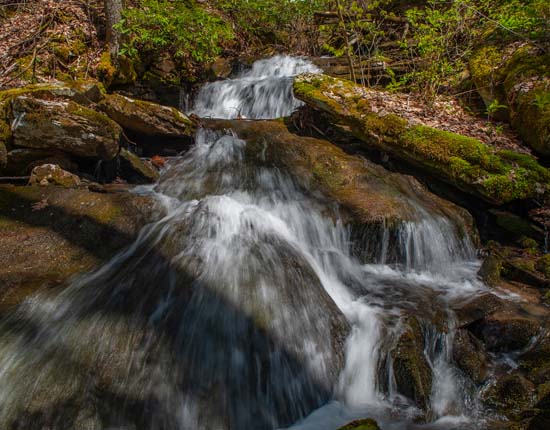
If you look at a topo you will see the ravine that you need to hike. It begins rather indistinguishably. The creek is not immediately obvious. Just go downhill keeping the higher ridge on your right and the Camp Branch Road on the left and eventually, the creek will become evident. A lot of the early creek is underground but will show itself between some rocks now and then and you will hear the water running. Once you get into the meat of the gorge, just follow the creek.
I highly recomment looking at a map and a topo before you attempt this hike. It's about 1600' elevation drop to the New River. Most of the better falls are far down, but not all the way. Have fun.