37°27'53.2"N 81°03'50.7"W
37.464785, -81.064095
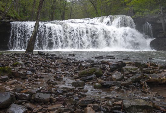
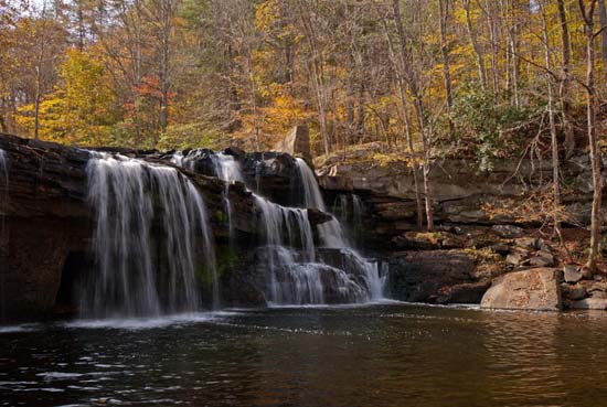
This park consists of one shelter and one picnic table. It's more like a roadside rest stop than an actual park. Room for 4 or 5 cars. The trail begins at the parking lot. It's .25 mile to the main falls and another 1.5 miles to White Oak Creek Falls.
From the Camp Creek Exit (#20) of Interstate 77, drive south on U.S. 19 for .25 mile and turn left on CR 3/1 (Eagle Crest Road). After crossing over I-77, turn right on CR 3 (Ead’s Mill Road). Drive 3.1 miles and turn left on Brush Creek Falls Road. At .3 mile cross the bridge and park at the shelter on the left. Walk the trail down the east side of the creek for .25 mile to reach the falls. Here the trail enters a Nature Conservancy Preserve and continues downstream another 1.5 miles to the White Oak Creek Falls.