39.039963, -79.597499
39°02'23.9"N 79°35'51.0"W
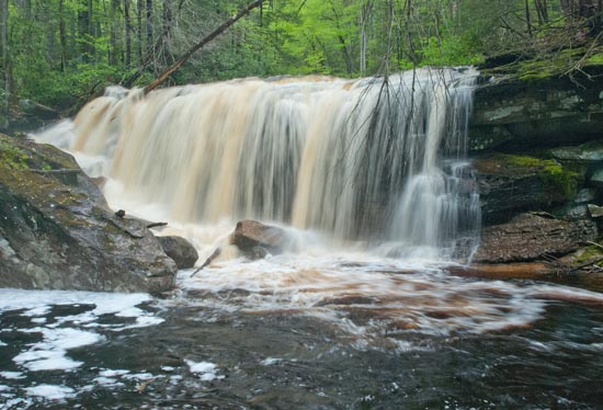
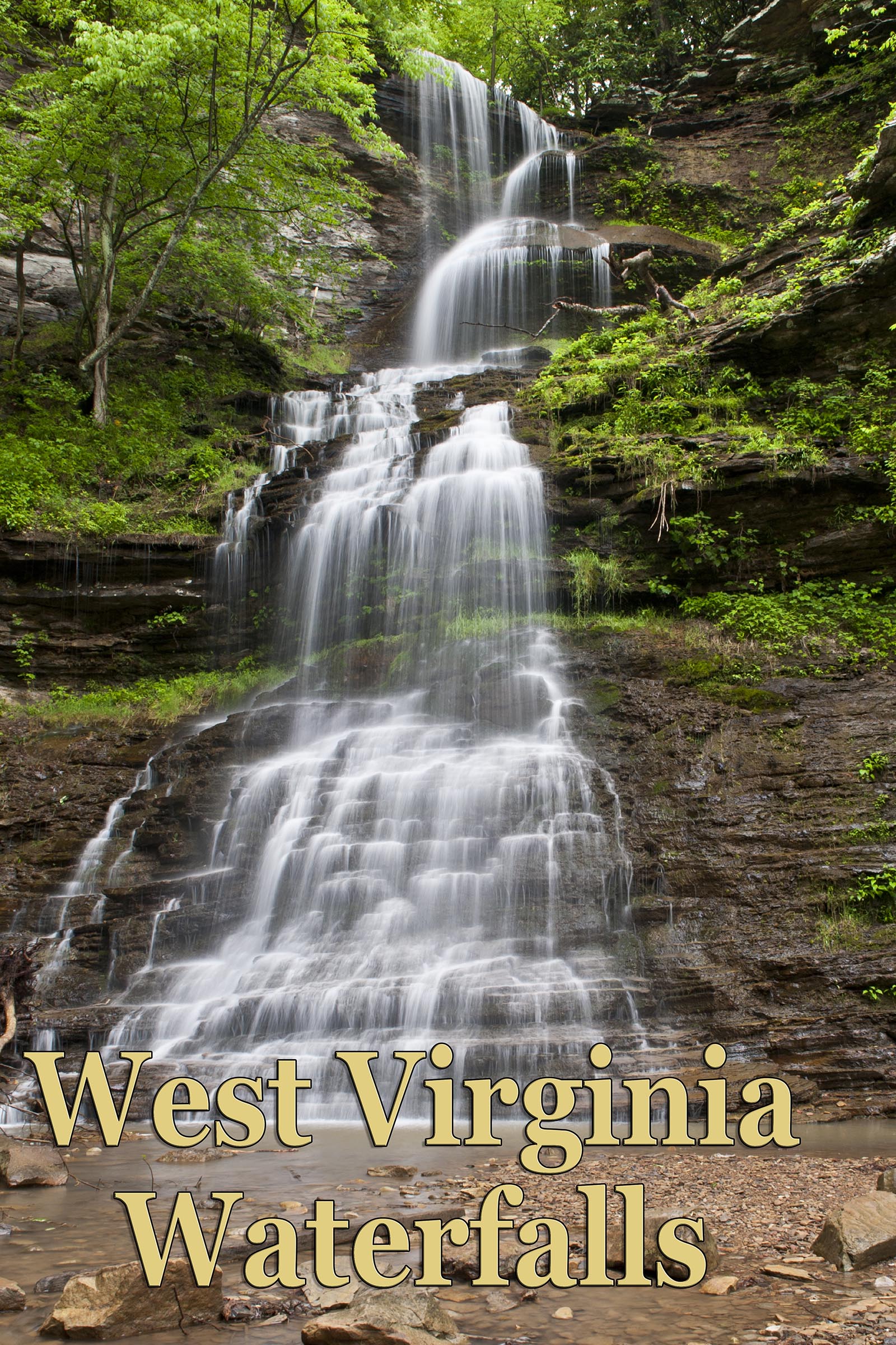
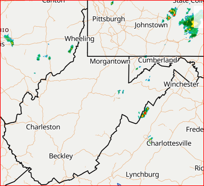
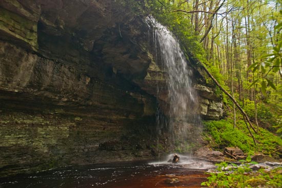
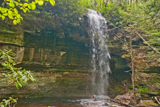
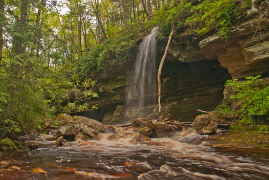
There are two waterfalls in this location. One is Red Run Falls. The other, more scenic falls, is unnamed on an unnamed feeder creek and is just downstream from Red Run Falls. There is a lot debris from recent flooding and rains in the area of Red Run Falls, and you will have to finesse your way around to get a photo, but it is totally worth the uphill walk just to see the falls on the side creek. This is a rather spectacular site when it's running. So plan your hike for wet weather.
South and east of Hendricks on SR 72, past the parking area for Otter Creek, there is a Forest Service Road (FSR 244) gate on the left. Park along the road on a pull off on the right hand side before the gate. There's not much room to park by the gate. Never block a gate.
You go uphill on FSR 244 about 1.25 to 1.5 miles. You'll start seeing hemlocks growing on the right side of the road and then a smaller tree with a rather demented smiley face carved in it.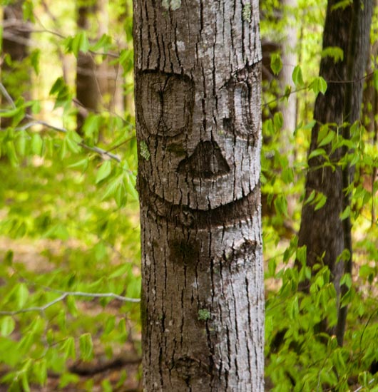
That's where you leave the road and head down into the woods. There is no trail, it's about 300 yds down hill into the creek bed area. If it's running well, you'll hear it. There's a high cliff on the left side of the creek that is undercut and has a tall waterfall flowing from it when the water is up. Personally, I think this falls is the main reason to make the trip.
Passing along some coordinates for Red Run since they were given to me by Brian Peterman.
FSR 244 gate is at: N39 02.395, W079 35.833 (39.039917, -79.597217).
The smiley tree where you leave the road is at: N39 02.883, W079 34.748 (39.048050, -79.579133).
The fall is at: N39 02.833, W079 34.591 (39.047217, -79.576517).
Location and directions courtesy of Brian Peterman.