38°40'53.2"N 80°03'10.6"W
38.68145, -80.05293
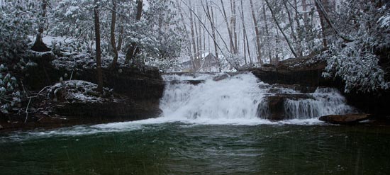
In the Kumbrabow State Forest there is the waterfall on Mill Creek. These GPS will get you in the ball park. Once you are in the forest on Rt 219-16 (Kumbrabow Forest Road), follow it north and east until intersecting with Rt 219-38. Turn left here and follow down to the cabin area. Kumbrabow State Forest is located off US 219, 24 miles south of Elkins and seven miles south of Huttonsville. From US 219, turn onto Rt 219-16 (Kumbrabow Forest Road) at Elkwater and follow to forest. Coming north on 219, this turn-off is eight miles from Valley Head. Another access to the forest is from WV 15, turning onto a rock base Dry Ridge Road at Monterville. They were just building an observation deck in winter 2016. It didn't appear to be friendly to allowing people into the creek, but you should be able if necessary.
An additional waterfall was recently revealed to me on the Facebook Group by Julia Mouser. She says "There is a sign that tells you where it is located inside the park. Real easy to walk, new walkway to it.", so it shouldn't be too hard to locate.
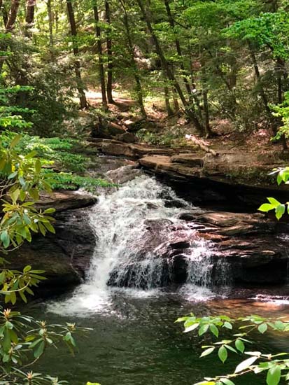
Julia Mouser Photo