39.16263, -79.6046
39°09'45.5"N 79°36'16.9"W
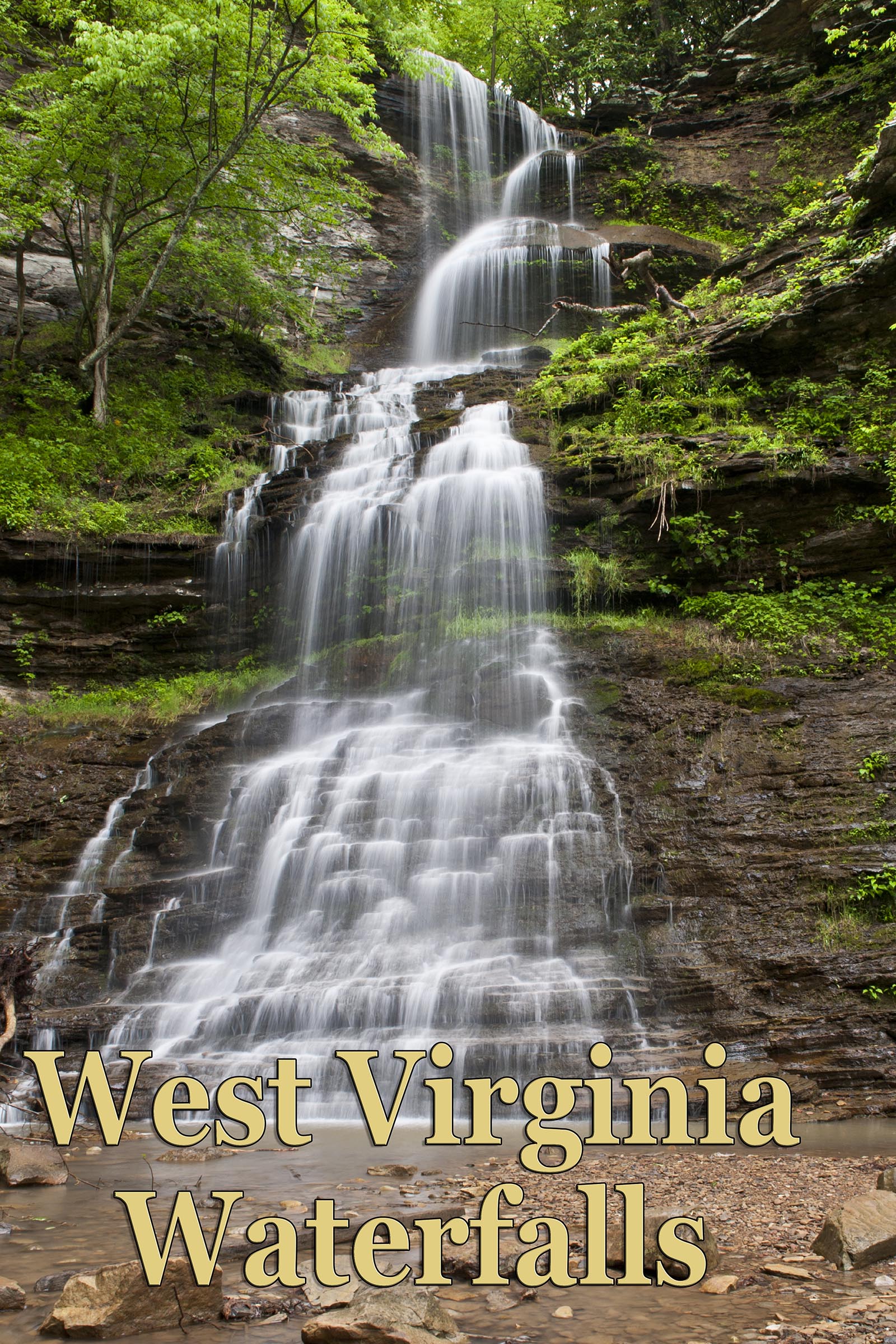
“From SR 72 turn onto CR 5 and cross Cheat River. Turn right on Holly Meadows Rd., sharp 90º left, then follow until it changes to Horshoe Run Rd. The route numbers change quite a bit on the map but it ends up as CR 7 at destination. Go over the Maxwell Run bridge at 6.0 miles from SR 72. Park in the pull off on your left just at the bridge. The trailhead is on the same side of the bridge but on the other side of the road (may be hard to see trail from road). You will be hiking upstream on this trail (blue blazes occasionally) with the creek on your right. There is private property in this area (well marked) but you can go up this trail staying on National Forest property if you are careful. You will eventually cross the creek following an old roadbed and, at about .75 mile, there will be a series of small falls and cascades, now on your left. When you see the falls that is about 4 feet high off of a ledge, go a short way further and you will see a swimming hole.” From internet unknown user.